Satellite image deep learning
Dive into the world of deep learning for satellite images with your host, Robin Cole. Robin meets with experts in the field to discuss their research, products, and careers in the space of satellite image deep learning. Stay up to date on the latest trends and advancements in the industry - whether you’re an expert in the field or just starting to learn about satellite image deep learning, this a podcast for you. Head to https://www.satellite-image-deep-learning.com/ to learn more about this fascinating domain www.satellite-image-deep-learning.com
Building Open GeoAI for Humanitarian Response
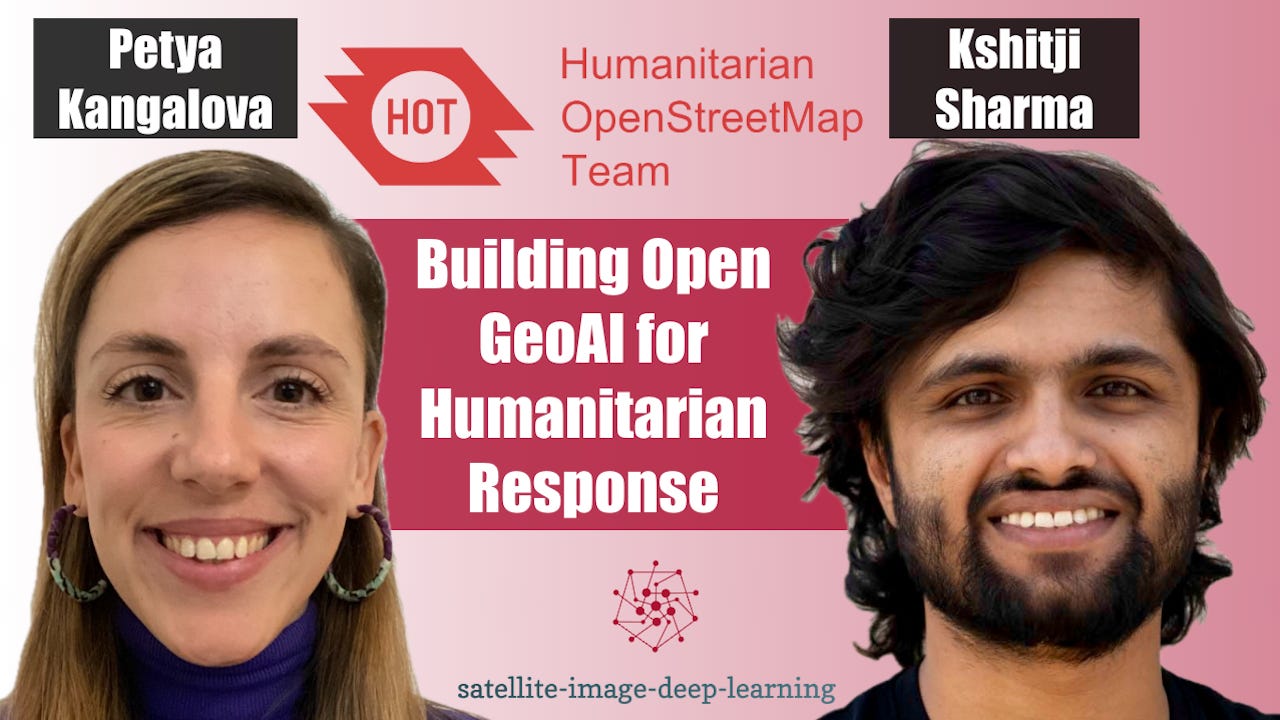
In this episode I sat down with Petya Kangalova and Kshitij Sharma from the Humanitarian OpenStreetMap Team (HOT) to discuss how GeoAI and community-driven mapping are being combined to support disaster response and humanitarian action. We explore how HOT works with local communities to generate training data, fine-tune AI models for specific geographic regions, and rapidly identify areas requiring attention following disasters. Petya and Kshitij explain why human validation remains essential, particularly in regions where existing training data is limited, and how open-source collaboration can help address these challenges. We also dig into the new version of HOT’s fA...
Ai Agents with Hyades & BlazerOps
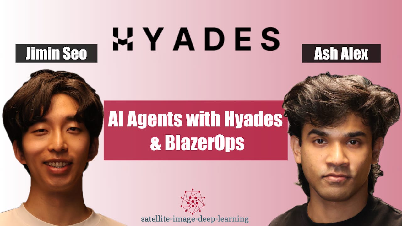
In this episode I caught up with Ash Alex and Jimin Seo, co-founders of Hyades, to discuss BlazerOps, an agentic platform for building machine-learning models and pipelines for geospatial data. They explain how the platform aims to make spatial ML faster and more accessible, helping engineers automate complex workflows while enabling analysts to define objectives in plain English. We discuss how geospatial agents differ from conventional LLM and coding-agent workflows, why spatial data requires specialist tools, and how multiple agents can coordinate data inspection, preprocessing, model development, and evaluation.A major focus is how BlazerOps combines general-purpose language models...
Building OlmoEarth: AI2’s Open Foundation Model for Satellite Imagery
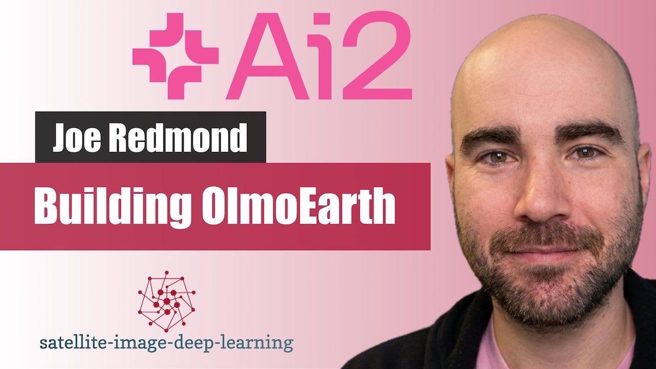
In this episode I sat down with Joe Redmond from the Allen Institute for AI (AI2) to discuss OlmoEarth, AI2's open geospatial foundation model for Earth observation. Joe explains how the project emerged from AI2's environmental and climate initiatives, where partners needed practical tools for analysing satellite imagery across applications such as agriculture, wildfire risk, ecosystem mapping, and conservation. We discuss the unique challenges of remote sensing data, including its temporal and multispectral nature, why geospatial machine learning differs from traditional computer vision, and AI2's philosophy of building open models and tools that can be adapted...
A Single GPU Is All You Need for Self-Supervised Pretraining
In this episode I sat down with Lakshay Sharma, a machine learning scientist at Instacart and former member of Microsoft’s geospatial AI team, to discuss self-supervised learning for remote sensing and his recent research on efficient pretraining for semantic segmentation. Lakshay explains the evolution of self-supervised learning, covering predictive, generative, and contrastive approaches, and discusses how foundation models such as DINO have transformed computer vision and geospatial machine learning. We explore the unique challenges of applying these techniques to remote sensing imagery, where assumptions that work for natural images often break down.We then dive into Lakshay’s rece...
Mapping The World at Taylor Geospatial
In this episode I sat down with Jennifer Marcus and Isaac Corley from Taylor Geospatial to explore Fields of the World - an open initiative to create globally consistent agricultural field boundary datasets from satellite imagery using AI and cloud-native geospatial infrastructure. Taylor Geospatial, a newly formed research organization, is building openly licensed global datasets as foundational public goods. Jen and Isaac explain the motivation behind the project, the challenges of scaling machine learning beyond well-labelled regions, and why openness in datasets, tooling, and intermediate model outputs, is central to their approach.We dive into the technical details behind...
BetaEarth: Open Embeddings of Sentinel-2 and Sentinel-1 with a Little Help of AlphaEarth
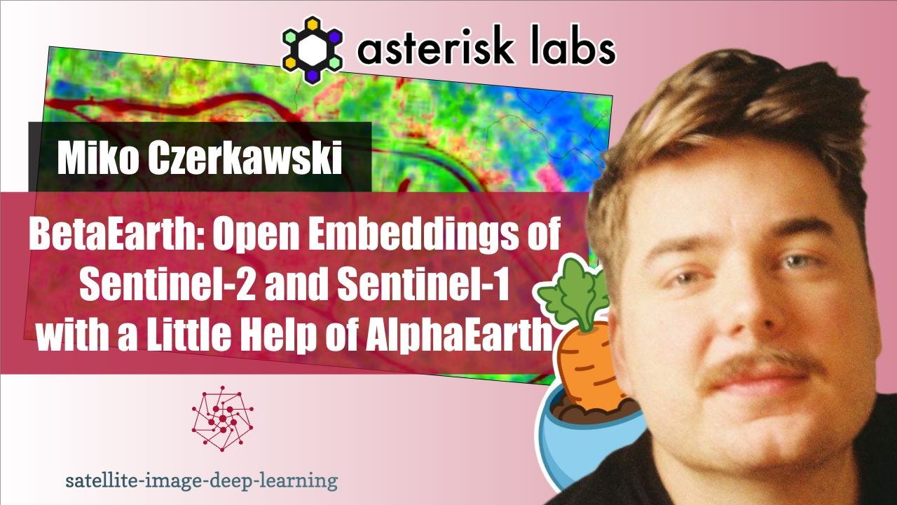
In this episode I sat down with Mikolaj (Miko) Czerkawski from Asterisk Labs to explore BetaEarth, an experimental open-source emulator trained on AlphaEarth Foundations' public embedding archive. AEF — released by Google and Google DeepMind as a global 10 m embedding product derived from a wide range of Earth-observation modalities — is what makes BetaEarth possible: its openness lets the community build lightweight independent emulators that approximate AEF's pixelwise outputs from standard Sentinel inputs, and use them to probe how much of a model's behaviour is captured in its public embeddings. Miko walks through BetaEarth's design — compact architectures based on SegFormer-B2 with separa...
Geospatial Annotation with LabelMe and Segment Anything
In this episode I sat down with Kentaro Wada, a computer vision engineer at Mujin and creator of LabelMe, to explore the evolution of image annotation workflows. We discuss how his need to label data for a robotics challenge led to building one of the most widely used open-source annotation tools, and how it has evolved alongside the shift from traditional computer vision to deep learning. Kentaro explains the impact of foundation models like Segment Anything (SAM), and how annotation is rapidly moving toward a prompt-and-verify paradigm where models do the heavy lifting and humans focus on quality control...
Mapping South America and Beyond with Fields of The World V2
In this episode I sat down with Hannah Kerner and Tristan Grupp to discuss Fields of The World (FTW), an open-source benchmark and ecosystem for global field boundary segmentation from satellite imagery. We explore the core challenge of building models that generalise across vastly different agricultural systems, and why data diversity, rather than model architecture, is often the limiting factor. Hannah and Tristan explain how targeted annotation in underperforming regions can dramatically improve results, how combining global and local training data avoids catastrophic forgetting, and what they learned from large-scale model experimentation. We also dig into practical evaluation beyond...
State Of The Art Object Detection
In this episode I sat down with Isaac to discuss RF-DETR, a new state-of-the-art family of real-time object detection and segmentation models from Roboflow. We cover the motivation for building models that are not just accurate but also fast, cost-efficient, and deployable across diverse hardware and data regimes, and why moving beyond fixed architectures is key to achieving that. Isaac explains how RF-DETR combines strong foundation backbones like DINOv2 with efficient neural architecture search to unlock novel speed–accuracy trade-offs, including dropping decoder layers and queries after training. We also discuss the model’s strong transfer performance on domains far...
Tessera: A Temporal Foundation Model for Earth Observation
In this episode I caught up with Sadiq Jaffer and Frank Feng to discuss Tessera, a large-scale foundation model for Earth observation that produces annual, pixel-level temporal embeddings from multi-sensor satellite data. They explain why moving beyond single-date imagery is essential for understanding phenology, land cover, and environmental change, and how aggregating a full year of Sentinel-1 and Sentinel-2 observations enables far richer representations of the Earth’s surface. We dive into the unique engineering challenges behind Tessera, including its unusual cost profile where inference is more expensive than training, the need to ingest petabyte-scale archives, and the design ch...
AutoML for Spaceborne AI
In this episode I caught up with Roberto del Prete to learn about his work on AutoML for in-orbit model deployment, and how it enables satellites to run highly efficient AI models under severe power and hardware constraints. Roberto explains why traditional computer-vision architectures—optimised for ImageNet or COCO—are a poor fit for narrow, mission-specific tasks like wildfire or vessel detection, and why models must be co-designed with the actual edge devices flying in space. He describes PyNAS, his neural architecture search framework, in which a genetic algorithm drives the optimisation process, evolving compact, hardware-aware neural networks and prof...
Methane Plume Detection with AutoML
In this episode I caught up with Julia Wąsala to learn about methane plume detection using AutoML, and how her research bridges atmospheric science and machine learning. Julia explains the unique challenges of working with TROPOMI data—extremely coarse spatial resolution, single-channel methane measurements, and complex auxiliary fields that sometimes create plume-like artefacts leading to false detections. She walks through how her approach generalises a traditional two-stage detection pipeline to multiple gases using AutoMergeNet, a neural architecture search framework that automatically designs multimodal CNNs tailored to different atmospheric gases. We discuss why methane matters, how model performance shifts dra...
Democratising access to GeoAI with InstaGeo
In this episode, I caught up with Ibrahim Salihu Yusuf from InstaDeep’s AI for Social Good team to hear the story behind InstaGeo, an open-source geospatial machine learning framework built to make multispectral satellite data easy to use for real-world applications. Ibrahim explains how the 2019–2020 locust outbreak exposed a gap between freely available satellite imagery, existing machine learning models, and the lack of tools to turn raw data into model-ready inputs. He walks through how InstaGeo bridges this gap - fetching, processing, and preparing multispectral data; fine-tuning models such as NASA IBM’s Prithvi; and delivering end-to-end inference and vi...
PhiDown: Fast, Simple Access to Copernicus Data
In this episode, Roberto from ESA’s Φ-lab in Frascati introduces PhiDown, a community-driven open-source tool designed to simplify data access from the Copernicus Data Space Ecosystem (CDSE). He explains why PhiDown was created, how it uses the high-speed S5 protocol for efficient downloads, and how it differs from other platforms like Google Earth Engine. The discussion highlights real-world use cases, from automating Sentinel data pipelines to building large-scale datasets for AI models. Head to YouTube on the link below to view the recording of this conversation, along with an extended demo of using PhiDown.
* 🖥️ PhiDown on Github<...
Chained Models for High-Res Aerial Solar Fault Detection
In this episode, I caught up with Jonathan Lwowski, Connor Wallace, and Isaac Corley to explore how Zeitview built an AI-powered system to monitor solar farms at continental scale. We dive into the North American Solar Scan, which surveyed every 1MW plus site using high-resolution aerial RGB and thermal-infrared imagery, then processed it through a chained ML pipeline that detects panel-level defects and fire risks. The team discusses the challenges of normalising data across regions, why a modular cascaded model design outperforms monolithic end-to-end approaches, and how human-in-the-loop review ensures high precision. They also share insights from building a...
TorchGeo 1.0 with Adam Stewart
In this episode I caught up with Adam Stewart, creator of TorchGeo, to hear all the latest updates related to this pivotal piece of geospatial AI software. We discuss TorchGeo’s strong adoption in the geospatial ML community and the upcoming 1.0 release, which will introduce long-awaited time series support. Adam shares insights from a recent software literature review covering available geospatial data handling tools, sampling strategies, and the broader machine learning ecosystem. He also talks about the newly formed Technical Steering Committee, outlining its role in guiding the project’s direction. Other topics include upcoming breaking changes to geospatial data...
Challenges and opportunities for Ai mapping
In this episode I caught up with Tobias Augspurger to explore the Map Your Grid initiative at Open Energy Transition, an ambitious project funded by Breakthrough Energy to build a digital twin of the global electrical grid. While AI and machine learning are being used to detect substations, pylons, and transmission lines in satellite imagery, Toby explains why these approaches alone can’t deliver a complete, accurate map. We discussed the false positives, missing connections, and contextual details that challenge automated models, and how human validation and open-source mapping remain essential to producing reliable, global-scale infrastructure data.
* 👤 Toby...
Solar Panel Detection with Satellite Imagery
In this episode, I catch up with Federico Bessi to dive into a fascinating end-to-end project on the automatic detection of photovoltaic (PV) solar plants using satellite imagery and deep learning. Federico walks us through how he built a complete pipeline—from sourcing and preprocessing data using the Brazil Data Cube, to annotating solar farms in QGIS, training models in PyTorch, and finally deploying a web app on AWS to visualise the predictions.
This is interesting because solar energy infrastructure is expanding rapidly, yet tracking it globally remains a major challenge. This project demonstrates how open data an...
Chat2Geo and the Power of LLMs
In this conversation, I caught up with Shahab Jozdani to learn about Chat2Geo, a web-based application designed to simplify remote-sensing-based geospatial analysis through an intuitive, chatbot-style interface.
Large language models, such as ChatGPT, are reshaping the way users interact with complex datasets, and it’s inspiring to see innovators like Shahab leverage this technology to democratise geospatial analytics. Note that we also recorded a demonstration video of Chat2Geo, which is linked below:
* 🖥️ Chat2Geo on Github
* 👤 Shahab on LinkedIn
* 📺 Video of this conversation on YouTube
* 📺 Demo of Chat2Geo on YouT...
OmniCloudMask
In this episode, I caught up with Nick Wright to discuss OmniCloudMask—a Python library for state-of-the-art cloud and cloud shadow masking in satellite imagery.
Accurate cloud masking is crucial for reliable downstream analytics, yet creating models that generalise well across different sensors, resolutions, and atmospheric conditions remains a significant challenge.
OmniCloudMask addresses this through a novel image preprocessing pipeline and clever augmentation strategies that vary the image resolution presented to the model. Model generalisation is a key concern for practitioners in our field, and I found this conversation both insightful and practical—I hope you...
Planetixx competition approach
In this episode, I caught up with James Doherty and Donal Hill, co-founders of Planetixx (formerly Plastic-i), a company using satellite imagery and AI to monitor ocean debris. Their platform not only detects plastic and other debris, but also predicts its origins and trajectory, enabling more effective interventions. Beyond plastic, they’ve expanded into monitoring algal blooms, a growing environmental concern.
The conversation covers the technical and practical challenges of building AI models that work at a global scale, as well as their newly launched platform. A live demo of the platform is available as a separate vi...
IceCloudNet and the PhD Journey
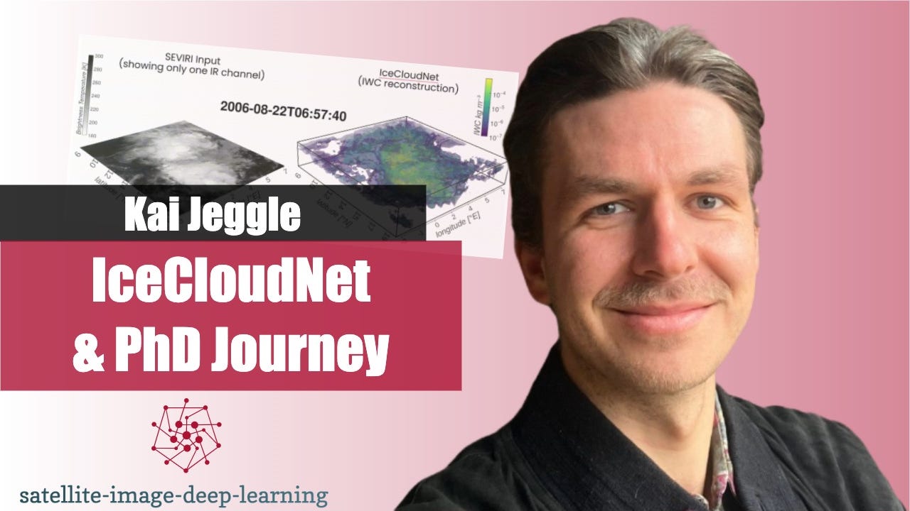
In this episode, I caught up with Kai Jeggle to discuss his experience pursuing a PhD at the intersection of machine learning and remote sensing. The conversation covers Kai's work on IceCloudNet, a deep learning model that reconstructs 3D cloud structures from 2D imagery with sparse depth measurements. Data fusion and sparse machine learning are fascinating topics. I learned a lot from this conversation, and I hope you do to.
* 👤 Kai on LinkedIn
* 📃 IceCloudNet paper
* 🖥️ Code
* 💾 Dataset
* 📺 Video of this conversation on YouTube
Bio: Kai is passionate about leveraging...
Insights from the SMAC earthquake detection challenge
In this episode, I caught up with Daniele Rege Cambrin, the organiser of the SMAC earthquake detection challenge, and Giorgio Morales, its winner. The challenge invited participants to leverage Sentinel 1 satellite imagery to identify earthquake-affected areas and measure the strength of events, while promoting scalable and resource-efficient solutions.
Giorgio shared his innovative approach that secured first place, and we explored the effort behind designing and solving such a meaningful challenge. This conversation provides valuable insights into developing effective solutions and showcases the potential of satellite data in earthquake monitoring.
* 📺 Video of this conversation on YouTube
<...Building Damage Assessment
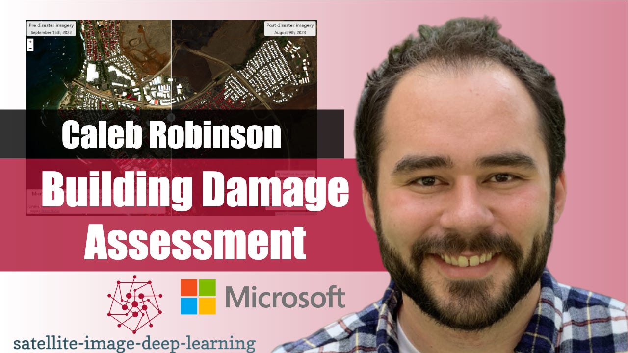
In this episode, I caught up with Caleb Robinson to learn about the building damage assessment toolkit from the Microsoft AI for Good lab. This toolkit enables first responders to carry out an end-to-end workflow for assessing damage to buildings after natural disasters using post-disaster satellite imagery. It includes tools for annotating imagery, fine-tuning deep learning models, and visualizing model predictions on a map. Caleb shared an example where an organisation was able to train a useful model with just 100 annotations and complete the entire workflow in half a day. I believe this represents a significant new capability, enabling...
Deepness QGIS plugin

In this episode, I caught up with Marek Kraft to learn about the Deepness QGIS plugin.
QGIS is a widely used open-source tool for working with geospatial data. It’s written in Python, and its functionality can be expanded with plugins. One plugin that recently caught my attention is Deepness, developed by Marek and his team.
Deepness makes it straightforward to use deep learning models in QGIS. You don’t need specialised hardware like GPUs, and it offers a range of pre-trained models through a model zoo.
As a long-time QGIS user, I was...
The FLAIR land cover mapping challenge

In this episode, I caught up with Nicolas Gonthier to learn about the FLAIR land cover mapping challenge.
In this challenge, 20cm resolution aerial imagery was used to create high-quality annotations. This data was paired with a time series of medium-resolution Sentinel 2 images to create a rich, multidimensional dataset. Participants in the challenge were able to surpass the baseline solution by 10 points in the target metric, representing a significant step forward in land cover classification capabilities.
The dataset is now being expanded to cover a larger area and incorporate additional imaging modalities, which have been sh...
Meta-learning with Meteor
In this episode, I caught up with Marc Rußwurm to learn about Meta-learning with Meteor. Our conversation starts with a discussion about meta-learning and the training of Meteor, and how this approach differs from the typical approaches taken to train foundational models. We cover the advantages and challenges of this technique, and discuss the fine-tuning of Meteor with minimal examples—as few as five—for tasks like deforestation monitoring and change detection, and consider what the future could hold for this approach. Meteor showcases the significant potential of few-shot learning for processing remote sensing imagery and proves it's possi...
Uncertainty Quantification for Neural Networks with Pytorch Lightning UQ Box
In this episode, I caught up with Nils Lehmann to learn about Uncertainty Quantification for Neural Networks. The conversation begins with a discussion on Bayesian neural networks and their ability to quantify the uncertainty of their predictions. Unlike regular deterministic neural networks, Bayesian neural networks offer a more principled method for providing predictions with a measure of confidence.
Nils then introduces the Pytorch Lightning UQ Box project on GitHub, a tool that enables experimentation with a variety of Uncertainty Quantification (UQ) techniques for neural networks. Model interpretability is a crucial topic, essential for providing transparency to end u...
Field boundary detection with Segment Anything
In this episode I caught up with Samuel Bancroft to learn about segmenting field boundaries using Segment Anything, aka SAM. SAM is a foundational model for vision released by Meta, which is capable of zero shot segmentation. However there are many open questions about how to make use of SAM with remote sensing imagery.
In this conversation, Samuel describes how he used SAM to perform segmentation of field boundaries using Sentinel 2 imagery over the UK. His best results were obtained not by fine tuning SAM, but by carefully pre-processing a time series of images into HSV colour...
Interpretable Deep Learning
In this episode I caught up with Yotam Azriel to learn about interpretable deep learning. Deep learning models are often criticised for being "black box" due to their complex architectures and large number of parameters. Model interpretability is crucial as it enables stakeholders to make informed decisions based on insights into how predictions were made. I think this is an important topic and I learned a lot about the sophisticated techniques and engineering required to develop a platform for model interpretability. You can also view the video of this recording on YouTube.
* tensorleap.ai
* Yotam...
Earthquake detection with Sentinel-1

In this episode I caught up with Daniele Rege Cambrin, to learn about Earthquake detection with Sentinel-1 (SAR) images. Daniele has a key role in organising a new competition on this task, SMAC: Seismic Monitoring and Analysis Challenge. The topics covered include the logistics of organising this competition, and the lessons Daniele learned from organising a previous one. You can also view the recording of this discussion on YouTube.
- Daniele on LinkedIn
- Competition website
Bio: Daniele Rege Cambrin is currently pursuing his Ph.D. and his research interests lie in deep...
Machine learning with SAR at ASTERRA

In this episode Robin catches up with Inon Sharony to learn about the fascinating world of machine learning with SAR imagery. The unique attributes of SAR imagery, such as its intensity, phase, and polarisation, provide rich information for deep learning models to learn features from. The discussion covers the innovative applications ASTERRA is developing, and the nuances of machine learning with SAR imagery. This video of this episode is available on YouTube
* https://asterra.io/
* https://www.linkedin.com/in/inonsharony/
Bio: Inon Sharony is the Head of AI at ASTERRA, where he...
Major TOM: Expandable EO Datasets

In this episode, Robin catches up up with Alistair Francis and Mikolaj Czerkawski to learn about Major TOM, which is a significant new public dataset of Sentinel 2 imagery. Noteworthy for its immense size at 45 TB, Major TOM also introduces a set of standards for dataset filtering and integration with other datasets. Their aim in releasing this dataset is to foster a community-centred ecosystem of datasets, open to bias evaluation and adaptable to new domains and sensors. The potential of Major TOM to spur innovation in our field is truly exciting. Note you can also view the video of this...
Location Embedding with SatCLIP, with Konstantin Klemmer

In this video Robin catches up with Konstantin Klemmer to discus SatClip, which is a new global & general purpose location encoder trained on Sentinel 2 imagery. The conversation covered the training of encoders such as CLIP, and discussed the implications for downstream applications. Note you can also view the video of this recording on YouTube here
* Konstantin on LinkedIn
* SatCLIP
Bio: Konstantin is a postdoctoral researcher at Microsoft Research New England. His research interests lie broadly within geospatial machine learning and bridging adjacent domains like remote sensing or spatial statistics. Konstantin has a PhD...
AI powered image annotation with James Gallagher

In this episode Robin catches up with James Gallagher to learn about the latest AI innovations reshaping image annotation. The conversation covered significant new models such as Segment Anything, GroundingDINO and RemoteCLIP, and discussed how these models can be linked together to enable new annotation capabilities. Note you can also view the video of this recording on YouTube here
* James on LinkedIn
* Autodistill on Github
* Roboflow
Bio: James is a technical marketer at Roboflow, and has written over 100 guides on computer vision, covering areas from CLIP to dataset distillation and model...
Super-Resolution at gamma.earth with Yosef Akhtman

In this episode, Robin catches up with Yosef Akhtman to discuss super resolution with satellite imagery. Super resolution is a technique which enables transforming an image with 10m pixels into an image with 1m pixels. While this method has some sceptics, it’s potential to improve analytics on the imagery is undeniable. Note you can also view the video of this recording on YouTube here
* Yosef on LinkedIn
* Medium article: Sentinel-2 Deep Resolution 3.0
* More resources on super-resolution
Bio: Yosef Akhtman – Independent Researcher with in-depth expertise in Remote Sensing, Earth Observation, Sensor Fusi...
Deep learning for 3D understanding of satellite images

A large fraction of acquired satellite images contain 2D projections of Earth. However, for many downstream applications, 3D understanding is beneficial or necessary. In recent years, deep learning has enabled a number of solutions for learning 3D representations from 2D satellite images.
This episode delivers an overview of some of the prominent works in this area. Mikolaj hosts 3 guests: Dawa Derksen, Roger Marí, and Yujiao Shi, providing a summary of each guest’s contributions on the topic as well as a panel discussion. Note you can also view the video of this recording on YouTube here
D...
Deep learning in Google Earth Engine with Jake Wilkins

In this episode Robin catches up with Jake Wilkins to learn about Deep learning in Google Earth Engine. Jake has been building commercial Earth Engine applications for the past three years and in this conversation he describes the pros and cons of several approaches to using deep learning models with Earth Engine. Note you can also view the video of this recording on YouTube here
* Jake on LinkedIn
* https://earthengine.google.com/
Bio: Jake is a Software Engineer and Data Scientist based in London, UK. He has been building commercial Google Earth Engine...
PyRawS for onboard image processing with Roberto Del Prete

In this episode Robin catches up with Roberto Del Prete to learn about PyRaws. PyRaws is a powerful open source Python package that provides a comprehensive set of tools for working with Sentinel 2 raw imagery. It provides tools for band coregistration, geo-referencing, data visualisation, and image processing. What is particularly exciting is that this software could be deployed onto future satellites, enabling on-board processing using python. Note you can also view the video of this recording on YouTube here
* https://github.com/ESA-PhiLab/PyRawS
* https://www.linkedin.com/in/roberto-del-prete-8175a7147/
Bio: Roberto...
Synthetic training data with Nathan Kundtz

In this episode Robin catches up with Nathan Kundtz to learn about the creation, and use of synthetic image data in training machine machine models. Nathan has a PhD in physics, and over 40 peer reviewed papers and 15 patents to his name. As a serial entrepreneur, he has successfully founded multiple companies and raised over $250 million in venture capital funding. Note you can also view the video of this recording on YouTube here
* Nathan LinkedIn
* rendered.ai
* DIRSIG
This is a public episode. If you would like to discuss this with...